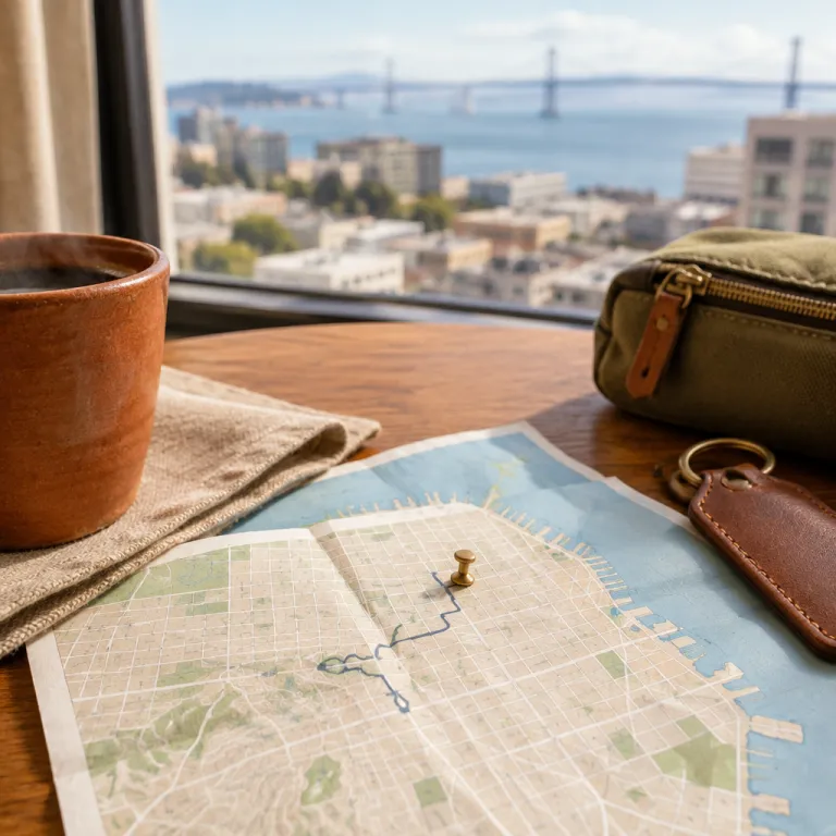
Reading a map of downtown San Francisco before you book
A precise map of downtown San Francisco is the most useful tool you can consult before choosing any hotel. When you understand how each central neighborhood connects to the bay, the hills, and the main streets, you immediately see which locations match your style of stay. This clarity lets you compare the size of different districts, the distance to the waterfront, and how close you will be to the city transport network.
Start by focusing on the compact grid of downtown streets between Market Street and the bayfront avenues. This is the core of San Francisco’s central business district, where high-rise building clusters sit beside historic façades and the Embarcadero Center runs parallel to the water. If you plan to work during the day and enjoy vibrant nightlife after meetings, this location gives you short walks, easy rides, and a well-balanced schedule.
Next, scan the north and south edges of any central city map that you consult. To the north you approach North Beach and the Ferry Building, while to the south you move toward SoMa warehouses and larger event venues that reflect the modern Bay Area economy. By reading the layout from top to bottom, you can decide whether you prefer a quieter park-side street or a more open city block near major transport hubs.

Union Square and Market Street as the central hotel hub
On almost every detailed map of downtown San Francisco, Union Square appears as the natural center for shopping-focused stays. This compact area is framed by Market Street to the south and steep streets leading north toward Nob Hill, giving you a clear sense of elevation changes and walking times. Hotels here place you in the heart of San Francisco city life, with department stores, galleries, and theaters all within a few hundred meters.
Market Street itself runs like a diagonal spine across the downtown grid. When you trace this street on a city map, you see how it links the Ferry Building at the bayfront to the Civic Center and beyond, which helps you judge tram and bus connections from your chosen location. If you enjoy vibrant nightlife, you will appreciate how the side streets branching from Market Street lead to bars, music venues, and late-open restaurants that stay lively throughout the year.
For guests who prioritize shopping and easy transit, staying near Union Square is often the smartest base in the city. A detailed top-down map view shows how short the walk is from most Union Square hotels to the Powell Street cable car, the underground lines, and the main content of the retail district. To plan this kind of stay in depth, you can review a dedicated guide to staying near Union Square for focused San Francisco shopping, then match its advice with your own annotated map.
As a practical example, walking from Union Square to the Ferry Building usually takes around 15 to 20 minutes at a relaxed pace, while the Powell–Mason cable car line gives you a scenic route toward Fisherman’s Wharf in roughly the same time.
Waterfront stays from the Ferry Building to Fisherman’s Wharf
When you shift your map of downtown San Francisco toward the water, the character of the area changes completely. The Embarcadero Center, the Ferry Building, and the piers form a long bayfront corridor that feels more open, breezy, and oriented to the water. Hotels along this stretch suit travelers who want quick access to ferries, waterfront walks, and views of the San Francisco skyline.
The Ferry Building marks a key location on any downtown map, because it anchors both commuter routes and gourmet food halls. From here, the Embarcadero curves north toward Fisherman’s Wharf and then on to North Beach, so you can easily judge walking times between each neighborhood by following the streets along the bay. If you prefer quieter evenings, you might choose a hotel closer to the Ferry Building, while guests who enjoy vibrant nightlife often look farther north toward the bars and restaurants near North Beach.
Fisherman’s Wharf appears on most maps as a compact cluster at the northern edge of downtown, with piers, attractions, and frequent boat tours. The size of this district is smaller than many visitors expect, which means a central hotel here keeps almost everything within a ten-minute walk. If you plan to combine outlet shopping with a waterfront stay, consult a specialist guide on pairing San Francisco hotels with nearby outlet malls and then mark the shuttle or driving routes directly onto your map.

North Beach, Jackson Square, and character filled streets
North Beach sits just north of the main downtown area, and a good map of downtown San Francisco will show how close it is to the Financial District. This neighborhood combines Italian cafés, historic front streets, and views toward Coit Tower, creating a very different atmosphere from the glass and steel of business downtown. Guests who value character and walkable streets often choose hotels here, then commute a short distance into the San Francisco city center for meetings or events.
When you study the map around North Beach, notice how the grid of streets begins to bend and climb. The change in slope affects walking times and the feel of each street, so a hotel one block uphill can feel much quieter than one on a busier, flatter location. Many visitors appreciate this subtlety once they arrive, which is why tracing elevation lines and park locations on a top-down map view pays off so well.
Just to the south, Jackson Square and the eastern edge of North Beach offer a refined mix of galleries, design studios, and carefully restored building façades. These streets sit between the Embarcadero Center and the heart of downtown, giving you quick access to both the waterfront and the business core. If you enjoy evenings in wine bars more than loud clubs, this area balances proximity to vibrant nightlife with a calmer residential feel.
For a simple evening route, you might walk from a Jackson Square hotel to the Ferry Building in about 10 minutes for an early dinner, then continue 15 to 20 minutes uphill toward North Beach for a late coffee or dessert.
Choosing between downtown, SoMa, and access to Golden Gate Park
A careful map of downtown San Francisco also helps you compare the central grid with the broader Bay Area, especially if you plan to explore beyond the immediate city center. SoMa, lying just south of Market Street, offers larger block sizes, converted warehouses, and event venues that appeal to conference guests and design-focused travelers. Hotels here often provide easier car access and slightly more open streets, which some guests prefer after long workdays.
Golden Gate Park sits far to the west of the downtown core, and its distance becomes clear when you trace tram or bus routes on a detailed city map. If daily visits to the park are central to your stay, you may wish to balance one or two nights in the San Francisco city center with additional nights closer to the park itself. This split-stay strategy works especially well for guests who want both museum visits in the park and quick access to the Ferry Building or Embarcadero Center during the same trip.
For many travelers, the ideal solution is to base themselves in the downtown area and plan targeted excursions to Golden Gate Park, the Presidio, or the Golden Gate Bridge. A high-quality top-view map lets you see how long each journey will take and which transport lines serve your chosen hotel location. To refine these day trips further, you can consult a specialist itinerary such as a guide on planning a refined Napa Valley day trip from San Francisco, then align its timing with your own city map.
As a sample day, you might spend the morning at the de Young Museum in Golden Gate Park, return by bus to a Union Square hotel for a short rest, then head to the Embarcadero in the evening for a waterfront walk and dinner.
Practical mapping tips for selecting the right hotel street
Once you have a reliable map of downtown San Francisco, use it to evaluate specific hotel streets rather than only broad districts. Zoom in on the immediate area around each property and check for parks, transit stops, and the type of building density on the block. A street lined with offices may feel quiet at night, while a mixed-use location with restaurants and small shops can feel more lively and convenient.
Mark the distance from your potential hotel to key points such as the Ferry Building, Embarcadero Center, Union Square, and North Beach. By measuring these routes, you can see whether you will rely mostly on walking, trams, or ride share services during the year, which affects both budget and comfort. Guests who plan frequent early meetings in business downtown often prioritize a shorter walk, while leisure travelers may accept a slightly longer route in exchange for a calmer park-side setting.
To make this comparison easier, sketch a simple reference table in your notes based on your preferred map or app:
| Typical route | Approx. distance | Usual walking time |
|---|---|---|
| Union Square → Ferry Building | 1.2–1.6 km | 15–20 minutes |
| Union Square → Powell–Mason cable car terminus | 0.4–0.6 km | 5–10 minutes |
| Jackson Square → Ferry Building | 0.8–1.0 km | 10–15 minutes |
| Fisherman’s Wharf → North Beach center | 0.8–1.2 km | 10–15 minutes |
Finally, use the downtown map to check how your hotel aligns with your personal rhythm and safety preferences. Look at which streets remain open and active into the evening, where the nearest transit hubs sit, and how quickly you can reach the bayfront streets in case you want a late stroll. Treat the map layer as the main content of your planning, and you will arrive in the iconic San Francisco city with a clear sense of place rather than relying on chance.
Key figures that shape downtown San Francisco stays
- San Francisco welcomed around 21.9 million visitors in a recent pre-pandemic year, according to the San Francisco Travel Association, which keeps downtown hotel occupancy consistently high in peak seasons.1
- The city’s hotel inventory includes more than 33,000 rooms, with a large concentration in the downtown area around Union Square, SoMa, and the waterfront, giving travelers a wide range of price points and building styles.1
- Golden Gate Park stretches over roughly 4.1 square kilometers, making it larger in size than New York’s Central Park and influencing how visitors plan transport from downtown to the western edge of the city.2
- The Ferry Building marketplace hosts dozens of permanent vendors and a popular farmers’ market several days per week, which makes its location a frequent reference point on any practical map of downtown San Francisco.3
- Public transport in the city includes more than 80 Muni bus and rail lines, and several of the busiest routes run along Market Street and the Embarcadero, directly shaping which downtown hotel streets feel most connected.4
Sources: (1) San Francisco Travel Association visitor and hotel statistics, “San Francisco Travel: Visitor Volume and Spending” (latest pre-pandemic report); (2) San Francisco Recreation and Park Department, Golden Gate Park fact sheet; (3) Ferry Building Marketplace, vendor directory and farmers’ market schedule; (4) San Francisco Municipal Transportation Agency (SFMTA), system overview and route summaries.
FAQ about using a map of downtown San Francisco for hotel planning
Which downtown San Francisco area is best for first time visitors ?
For a first stay, the Union Square and Market Street area works well because it combines central transit, dense shopping streets, and easy access to both the Ferry Building and the Embarcadero Center. The map of downtown San Francisco shows this district at the heart of the grid, with cable cars and underground lines converging nearby. From here, you can reach North Beach, Fisherman’s Wharf, and Golden Gate Park with straightforward connections.
How far is the waterfront from most downtown hotels ?
On a typical downtown map, many central hotels sit within 800 to 1,600 meters of the bayfront streets. Walking from Union Square to the Ferry Building usually takes around 15 to 20 minutes at a relaxed pace. Guests who want immediate waterfront access often choose hotels closer to the Embarcadero or Fisherman’s Wharf, as a top-view map makes clear.
Is it better to stay near the Ferry Building or Fisherman’s Wharf ?
The Ferry Building area suits travelers who value gourmet markets, business downtown access, and calmer evenings. Fisherman’s Wharf works better for guests focused on family attractions, boat tours, and a more tourist-oriented atmosphere with vibrant nightlife on nearby streets. A close reading of the map of downtown San Francisco will show that both locations connect easily to the rest of the city, but the feel of each area is distinct.
Can I rely on public transport from a downtown hotel to Golden Gate Park ?
Yes, but you should study the map of downtown San Francisco together with transit maps to understand route options. Buses and light rail lines run from the city center toward Golden Gate Park, yet travel times can reach 30 to 45 minutes depending on traffic and time of day. Many visitors combine public transport one way with a ride share return, especially after evening events in the park area.
How do I judge street safety and noise levels from a map ?
A map alone cannot guarantee safety, but it helps you identify patterns such as proximity to major transit hubs, late-open entertainment zones, and quieter park edges. Cross-checking the downtown map with recent guest reviews and city information gives a more complete picture of each location. Look for hotels on side streets near, but not directly on, the busiest corridors if you want a balance between convenience and calmer nights.